New Glarus Weather Turns Sketchy with Wind, Snow Risk
Strong winds will whip through New Glarus heading into Friday, then a weekend storm could bring rain, snow, or both before sharply colder air arrives early next week and raises the risk of hazardous travel.


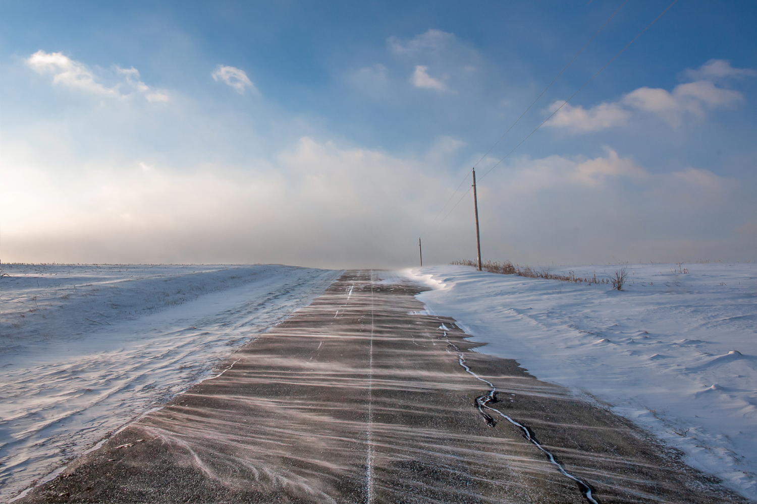
Powerful winds are expected to hit New Glarus yet this week, followed by a weekend storm that could bring anything from mostly rain to significant snow, according to forecast information from the National Weather Service. The biggest concerns are strong wind Thursday night into Friday, then possible travel problems from snow or a rain-snow mix Saturday night through Sunday night.
For New Glarus, the forecast points to sustained winds of 25 to 40 mph with gusts from 40 to 60 mph in parts of the region, while the weekend system carries a 50 percent chance of 6 inches or more of snow and a 30 percent chance of 12 inches or more. At the same time, forecasters say there is still a strong chance the system could lean more toward rain, showing just how uncertain the storm track remains.
Friday should be mostly sunny with a high near 42, but windy, with west winds of 20 to 30 mph and gusts as high as 45 mph. Friday night is expected to turn colder, with increasing clouds and a low around 26. Saturday brings a slight chance of snow after 1 p.m. and a high near 41 before conditions worsen Saturday night, when snow could begin before mixing with rain.
Sunday now looks like the most unsettled day of the stretch. Rain and snow are both in the forecast, along with breezy east winds of 15 to 20 mph and gusts up to 30 mph. Snow is expected to continue Sunday night before tapering off, and that is when temperatures will really drop, with a low around 14.
Behind the storm, a colder pattern settles in. Monday is expected to be mostly cloudy and blustery with a high near 23, followed by a low around zero Monday night. Tuesday should be sunny but cold, with a high near 27, before a slight chance of snow returns Tuesday night. By Wednesday, temperatures are expected to moderate somewhat, with a high near 39.
The forecast still has room to change, especially when it comes to where the heaviest snow band sets up. But with strong wind, the possibility of heavy snow, and sharply colder air arriving right after, residents in New Glarus may want to keep a close eye on updated forecasts and think twice before making unnecessary travel plans this weekend.
– Follow New Glarus 360 for trusted New Glarus news and weather updates as conditions change through the weekend.
– Licensed stock photo
Sign up for our New Glarus 360 newsletters
Breaking news, things to do and alumni updates—delivered.