
On the Horizon: Where the Water Goes When It Rains

New rainfall standards, high-resolution LiDAR and modern flood modeling could change how New Glarus understands water moving from its western hills through town and into the Little Sugar River corridor — and what that may mean over the next 20 years.

On the Horizon: Where the Water Goes When It Rains
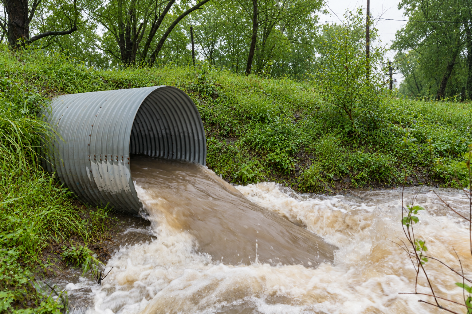
Stormwater surges through a roadside culvert after heavy rain. Culverts, storm sewers, detention areas and other drainage infrastructure could become increasingly important as engineers reassess how much rainfall communities like New Glarus should be prepared to handle.

On the Horizon is a New Glarus 360 feature looking beyond today’s headlines at larger economic, demographic, technological and cultural changes that may eventually reach our community. The goal is not to predict the future, but to recognize consequential changes while they are still far enough away to prepare for them.

When a heavy rain event settles over the hills west of New Glarus, the water begins moving long before anyone sees it at a storm drain. Some soaks into farm fields, lawns and wooded slopes. Some collects in shallow swales, roadside ditches and culverts. Some moves toward what locals know as Durst Valley, through the village and eventually toward the Little Sugar River. None of that is new. What is changing is how precisely engineers can now measure the landscape, calculate the rain falling on it and model where the water goes next.

That matters because Green County is already wetter than it was generations ago. The Wisconsin State Climatology Office says annual precipitation in Green County has increased 0.83 inches per decade since 1950 — roughly one additional inch every 12 years. The increase has occurred in every season.

The more consequential change for streets, culverts and storm sewers may not be the annual total, but how much water arrives at once. Wisconsin Department of Natural Resources data, drawing on projections from the Wisconsin Initiative on Climate Change Impacts, says the frequency of 2-inch rainfall events is projected to increase about 30 percent, while 5-inch rainfall events could nearly double. A few extra inches spread over months is one thing. Several inches falling in hours is another.

Remaining content is for paid members only.

Please subscribe to any paid plan to unlock this article and more content.

Already have an account? Sign in

Comments available to premium members.

Create a premium account and join the discussion.

Already have an account? Sign in

Sign up for our New Glarus 360 newsletters

Breaking news, things to do and alumni updates—delivered.

Please check your inbox and confirm. Something went wrong. Please try again.