Heavy Rain, Storms Expected to Soak New Glarus This Week
Multiple rounds of rain and thunderstorms could bring heavy downpours, localized flooding and isolated severe weather to New Glarus Monday, with another potential round of stronger storms possible later this week.


Residents may want to keep umbrellas handy and an eye on the forecast as several rounds of rain and thunderstorms are expected to move through southern Wisconsin this week, which began last night and will continue through at least Thursday.
The greatest concern in the immediate forecast is Monday, when forecasters say multiple bands of rain will move across the region, bringing the potential for locally heavy rainfall, isolated flooding and even a brief tornado.
According to the National Weather Service, showers and thunderstorms are expected to develop overnight Sunday before becoming widespread Monday. Rain chances climb to 90% during the day Monday, with temperatures reaching around 81 degrees.
New Glarus Monday ForecastMultiple rounds of rain and storms • Heavy rain possible in the afternoonMonday, June 9
New Glarus is expected to see a wet Monday, with showers and thunderstorms likely through the day. The heaviest rain is possible during the afternoon, when localized flooding and a brief, weak tornado cannot be ruled out.
Forecasters say the heaviest rainfall threat will arrive during the afternoon hours as another band of storms moves north through southern Wisconsin. While widespread flash flooding is not anticipated, pockets of 2 to 4 inches of rain are possible in some locations, especially where thunderstorms repeatedly move over the same area.
The National Weather Service has highlighted southwestern and south-central Wisconsin, including Green County, as an area where localized flooding could develop if heavier rain bands stall. Drivers are urged to use caution and never attempt to drive through flooded roadways.
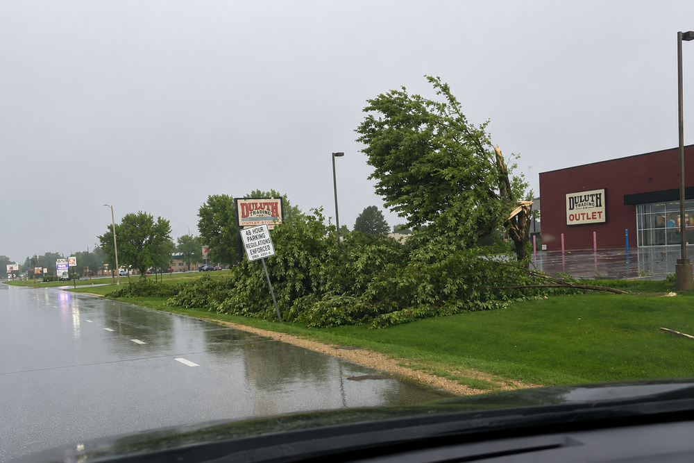
In addition to heavy rain, forecasters say they cannot rule out a brief, weak tornado Monday afternoon, though the primary concerns remain heavy downpours, lightning and localized flooding.
Rain and thunderstorms are expected to continue Monday night before gradually diminishing. Additional rainfall of up to a quarter inch is possible, though higher totals could occur under stronger storms.
After a brief break Tuesday, temperatures are expected to surge into the upper 80s and lower 90s by midweek. Wednesday is forecast to be hot and breezy with a high near 92 degrees. A slight chance of afternoon thunderstorms exists Wednesday, but the more significant concern currently appears to be Thursday.
The National Weather Service's Storm Prediction Center has already outlined much of Wisconsin in a Level 2 and Level 3 severe weather risk area for Wednesday and Wednesday night, with large hail and damaging winds listed as the primary threats. Forecast details are still being refined, but residents with outdoor plans later this week may want to monitor updates closely.
Thursday currently carries a 60% chance of showers and thunderstorms. Depending on how the atmosphere evolves after Wednesday's heat and storms, some of those thunderstorms could become severe. While it remains too early to determine exact timing or impacts, forecasters expect a more active weather pattern to continue through the latter half of the week.
For now, the message for New Glarus is straightforward: expect a wet start to the week, be alert for periods of heavy rain Monday, and stay tuned for forecast updates as the potential for stronger storms develops later in the week.
– Follow New Glarus 360 for trusted New Glarus weather updates and breaking local news as conditions change throughout the week.
– Licensed stock photo
Sign up for our New Glarus 360 newsletters
Breaking news, things to do and alumni updates—delivered.