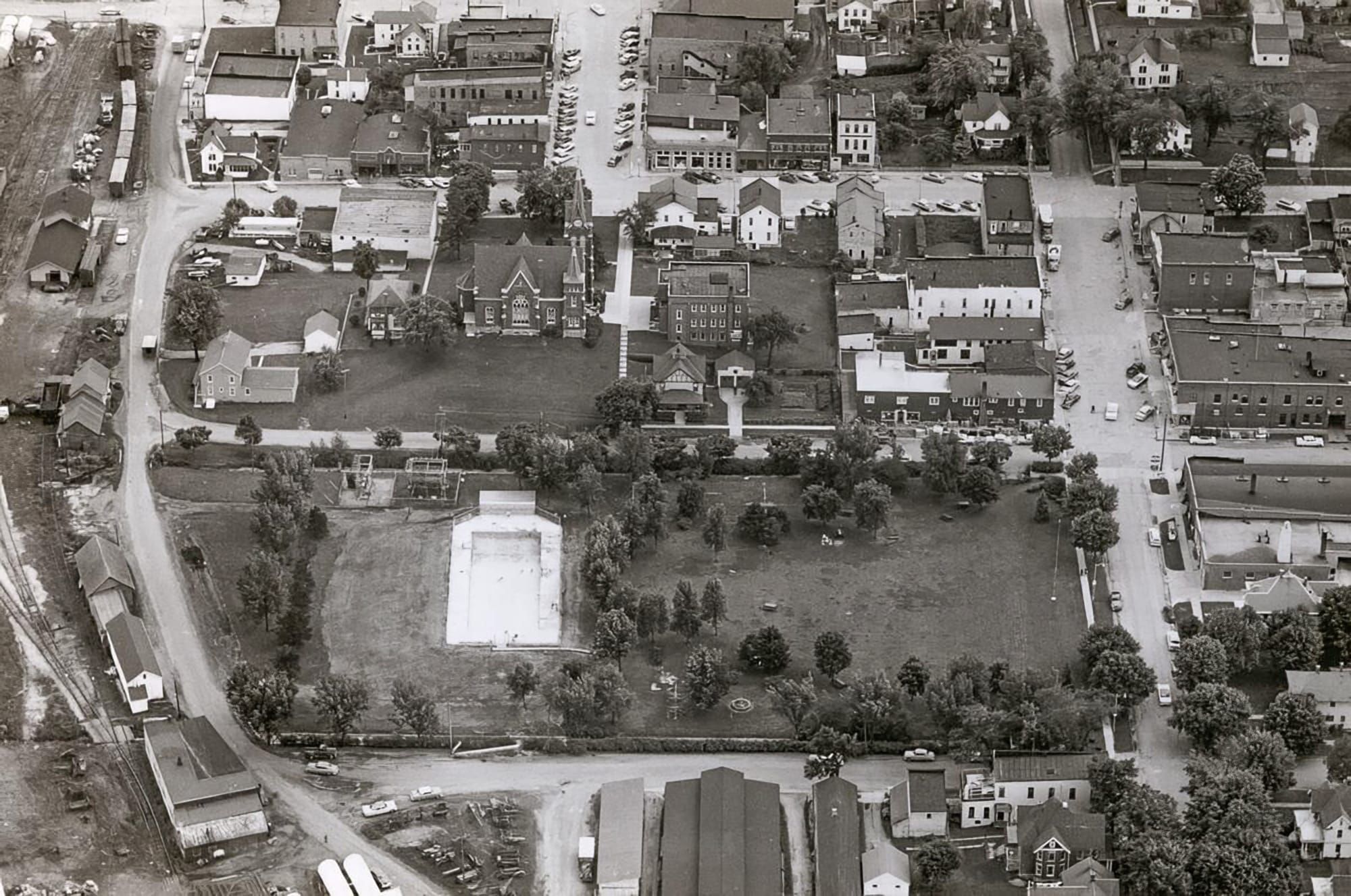
A 1957 aerial photograph of downtown New Glarus offers a remarkable look at a village that is still easy to recognize — and yet different enough to invite a closer look. Streets, churches and several familiar buildings help orient the viewer, while other structures have disappeared, moved or taken on entirely different uses.
For orientation, 5th Avenue runs east-west near the top of the photograph, 4th Avenue crosses the middle and 3rd Avenue runs along the bottom edge of the park. The north-south street on the far right is 2nd Street, with 1st Street visible farther west. The exact state highway routing through the village in 1957 is one of the details readers may be able to help clarify.
On the right side of the photograph stands the old Village Hall. Farther west, at the intersection of 1st Street and 5th Avenue, the old New Glarus Bank building is also visible, giving longtime residents another familiar landmark from which to study the rest of the scene.
The church block contains several details that have changed. The Zwingli House, the brick building just east of the church, is easy to pick out. South of it is a house that was later moved to Zentner Road. The former parsonage Another house immediately west of the church is also visible, although what ultimately happened to that house is less clear.
Remaining content is for paid members only.
Please subscribe to any paid plan to unlock this article and more content.
Subscribe Now